Collection: Victorian Town Maps

PETER J ADAMS
Working from official cartographic sources, the late British Cartographer Peter Adams created a series of unique coloured Victorian British town and village maps which help highlight the rapid transformations taking place in the UK during the Industrial Revolution. The process for producing his Collection began with Peter accessing the maps created during the Ordnance Surveys carried out between the 1840s and the 1890s. The maps are held in digital format by the National Library of Scotland. Peter had the drawings printed and then painstakingly hand coloured them using a Victorian colour palette, thereby adding a new clarity and vibrancy to the maps which had only ever been produced before as black and white line drawings. He and shopforprints collaborated for several years resulting in a range of stunning reproductions which we sold on his behalf.
Unfortunately, due to Peter's untimely death, his Heritage Cartography Collection cannot be increased, but his family is keen to maintain his legacy by offering the entire Collection here as beautiful archival prints.
Exquisitely detailed and printed on acid-free, 100% cotton Hahnemühle Photo Rag paper, the maps provide a valuable archival record of the UK's social history and are enjoyed by Geographers, Genealogists and Historians alike. The maps make a beautiful centrepiece for your room and provide an invaluable talking point at any gathering.
Due to the bespoke sizing of the different maps, they are available as prints only but each one includes a generous border to allow for your own framing options.
-
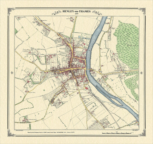
Henley-on-Thames 1879
Regular price £125.00Regular price -
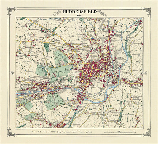
Huddersfield 1848
Regular price £125.00Regular price -
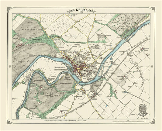
Kelso 1858
Regular price £125.00Regular price -
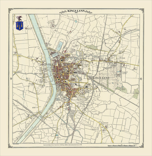
King's Lynn 1883
Regular price £125.00Regular price -
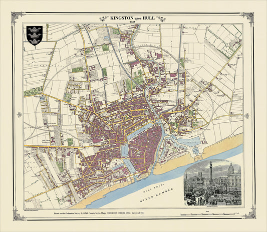
Kingston upon Hull 1853
Regular price £125.00Regular price -
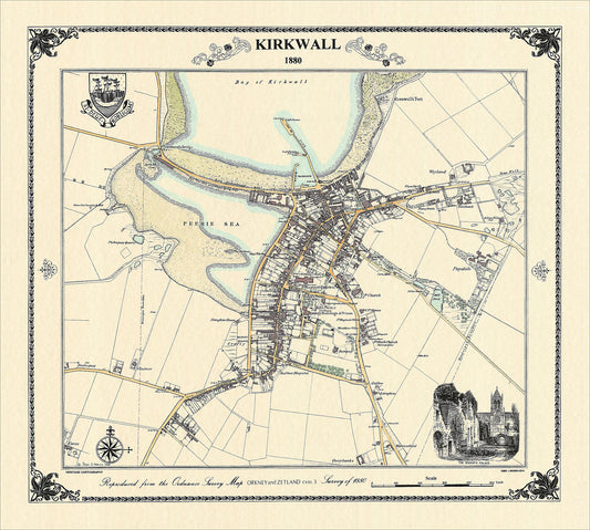
Kirkwall 1880
Regular price £125.00Regular price -
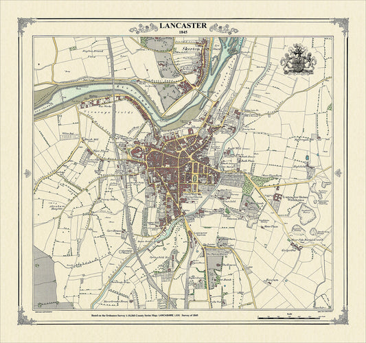
Lancaster 1845
Regular price £125.00Regular price -
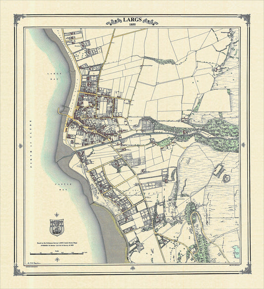
Largs 1855
Regular price £125.00Regular price -
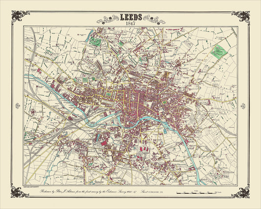
Leeds 1847
Regular price £125.00Regular price -
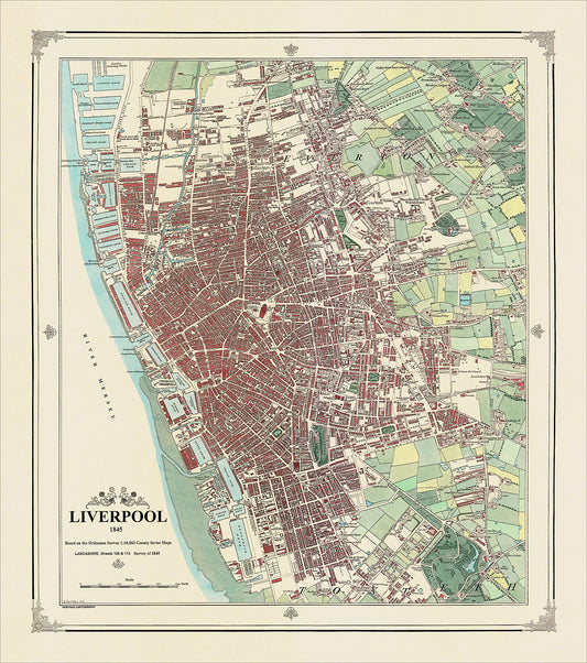
Liverpool 1845
Regular price £125.00Regular price -
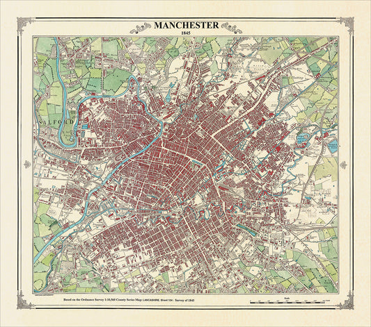
Manchester 1845
Regular price £125.00Regular price -
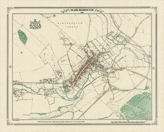
Marlborough 1881
Regular price £125.00Regular price -
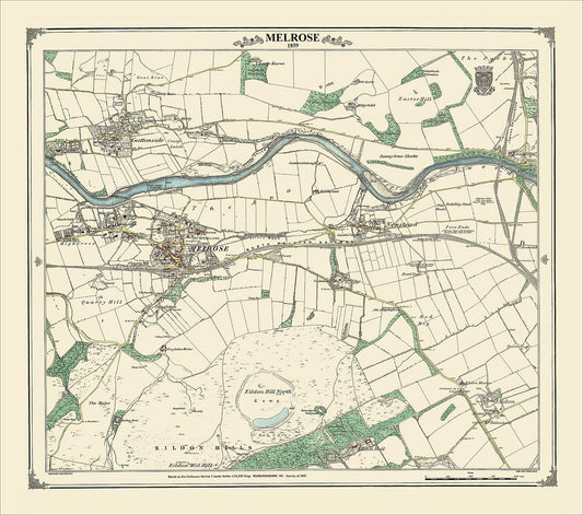
Melrose 1859
Regular price £125.00Regular price -
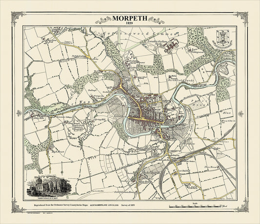
Morpeth 1859
Regular price £125.00Regular price -
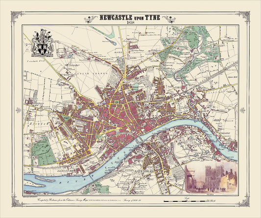
Newcastle upon Tyne 1858
Regular price £125.00Regular price